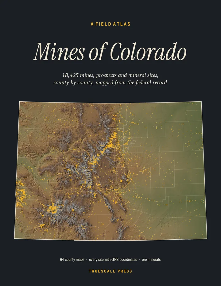
Paperback · 8.5 × 11 in · 356 pages · first edition, 2026 · ISBN 979-8166592927
$24.99
All 18,425 mines, prospects and mineral sites the federal record locates in Colorado, on 64 full-page county maps with GPS coordinates for every one.
Printed and shipped by Amazon.
Truescale Press is our imprint: the atlas is made by the people who run MinesNearMe, from the same federal records this site is built on, the USGS Mineral Resources Data System and MSHA’s mine list.
Pages from the book
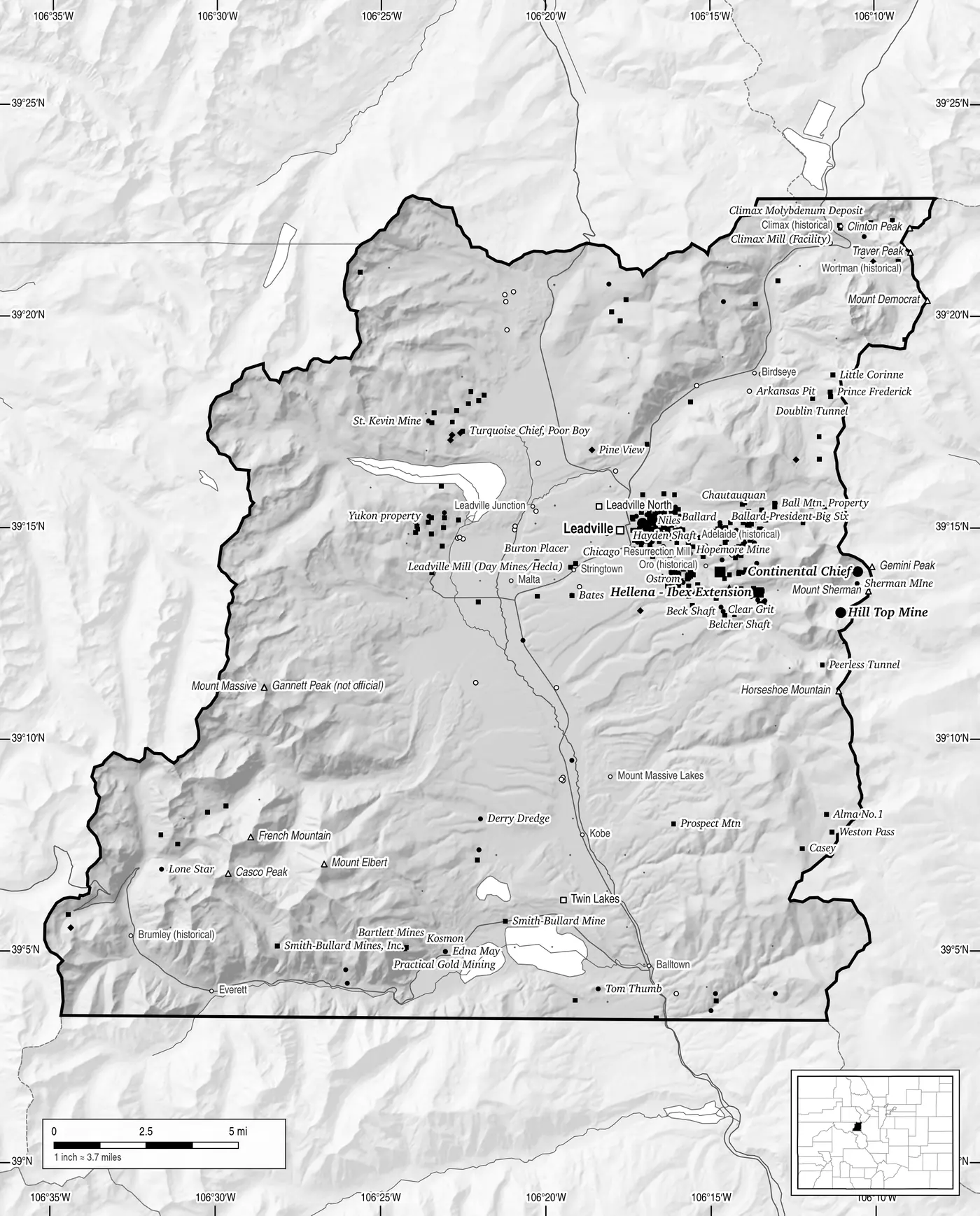
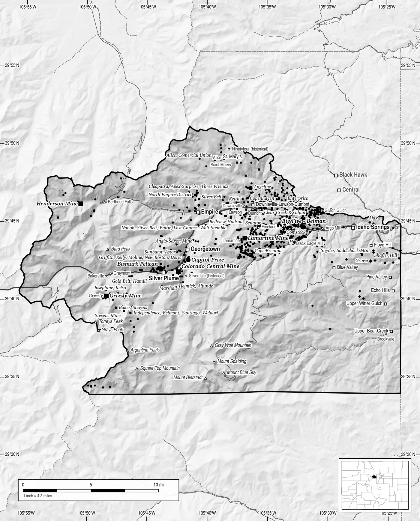
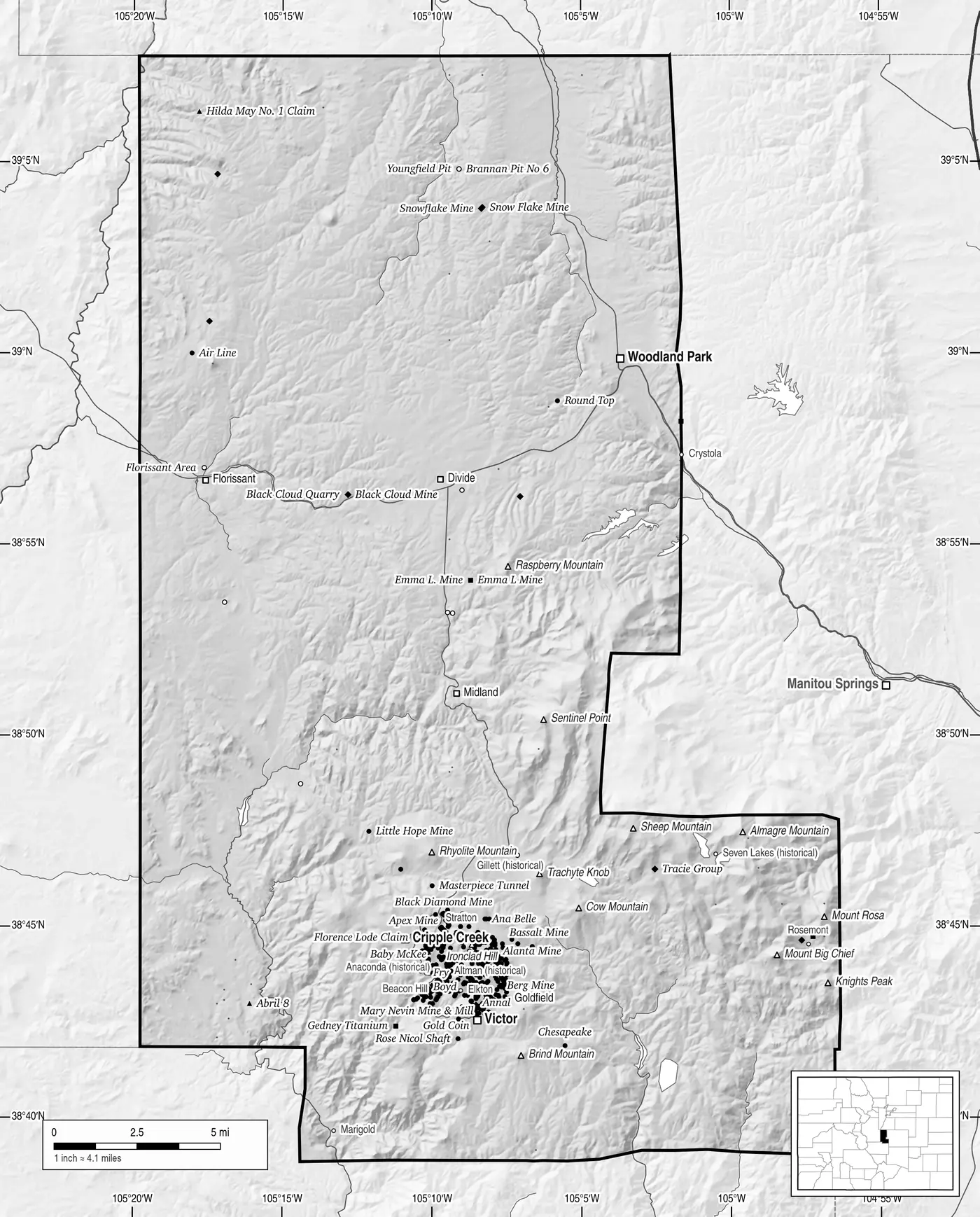
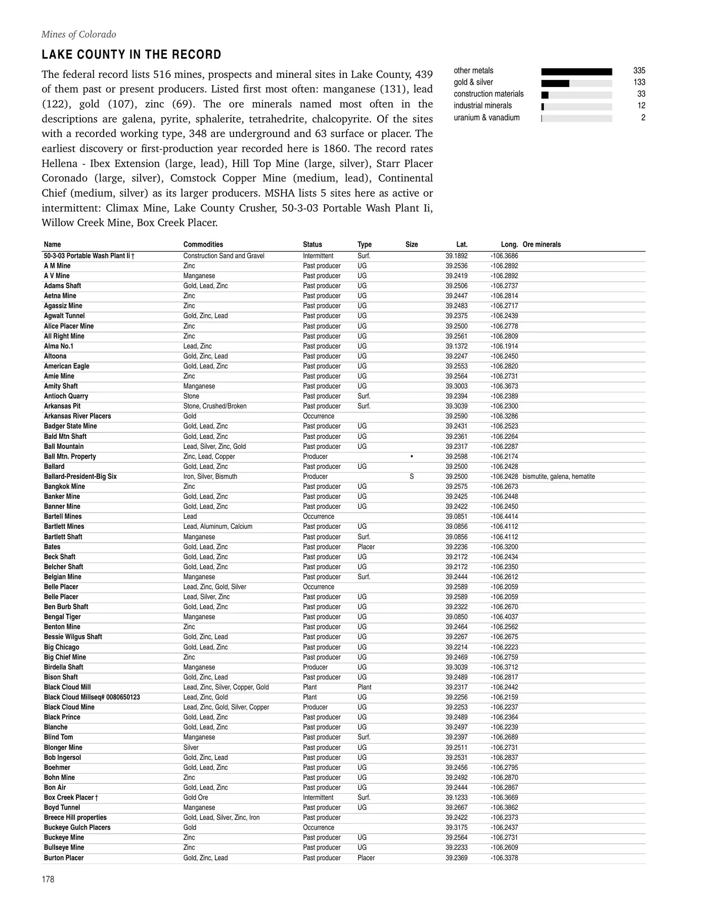
Shown as printed, in black and white on 8.5 × 11 paper. White shapes are lakes, ponds and reservoirs from the USGS National Hydrography Dataset. Tap a page to see it full size.

What’s inside
- 64 full-page shaded-relief county maps, one for every county, with every site plotted by what it produced, plus streams, highways, towns, old camps and summits.
- A gazetteer for every county: name, commodities, status, working type, size and GPS coordinates for all 18,425 sites.
- The ore minerals named at each mine, with a guide to what each one is.
- An illustrated guide to reading a mine site: headframes, adits, ore bins, tramways, mills and placer workings.
- Statewide maps of Colorado’s mines by what they produced.
17,654 of the sites come from the U.S. Geological Survey’s Mineral Resources Data System and 771 from the Mine Safety and Health Administration: every one the two agencies locate in Colorado with coordinates.
Contents
- How to use this atlas4
- Stay out and stay alive5
- Reading a mine site6
- Colorado in the record8
- The ore minerals10
- The counties11
- Sites the record rates large or medium347
- Index of producing sites with a size rating349
- Sources and methods355
- Glossary356
The county maps
Each county opens on a full-page map. The links go to that county on this site.
- Adams County12
- Alamosa County16
- Arapahoe County18
- Archuleta County21
- Baca County23
- Bent County25
- Boulder County28
- Broomfield County44
- Chaffee County46
- Cheyenne County54
- Clear Creek County56
- Conejos County75
- Costilla County78
- Crowley County80
- Custer County82
- Delta County87
- Denver County90
- Dolores County92
- Douglas County97
- Eagle County101
- El Paso County105
- Elbert County111
- Fremont County114
- Garfield County122
- Gilpin County125
- Grand County132
- Gunnison County136
- Hinsdale County149
- Huerfano County153
- Jackson County156
- Jefferson County160
- Kiowa County167
- Kit Carson County169
- La Plata County171
- Lake County177
- Larimer County185
- Las Animas County191
- Lincoln County194
- Logan County197
- Mesa County200
- Mineral County209
- Moffat County213
- Montezuma County218
- Montrose County222
- Morgan County243
- Otero County245
- Ouray County248
- Park County253
- Phillips County261
- Pitkin County263
- Prowers County268
- Pueblo County270
- Rio Blanco County274
- Rio Grande County277
- Routt County280
- Saguache County284
- San Juan County293
- San Miguel County304
- Sedgwick County319
- Summit County321
- Teller County328
- Washington County337
- Weld County339
- Yuma County344
Find a mine in the book
Every mine page on MinesNearMe for a site in this atlas says which page it is on, with that page’s map and the site ringed. Start from mines in Colorado or search near an address.
Who it’s for
Rockhounds, ghost-town hunters, backroad explorers, historians, and anyone who has stood at an old portal and wondered what came out of it. It is a book for the truck: no signal needed, coordinates you can type straight into a GPS.
Look from outside. Never enter a mine. A site in the atlas is a place in the public record, not an invitation: many are on private land or under active claims.
Mines of Colorado · 356 pages · $24.99