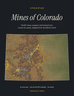
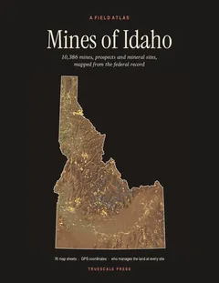
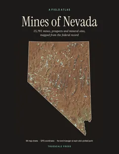
Paperback · 8.5 × 11 in · 392 pages · first edition, 2026 · ISBN 979-8141937309
$24.99
All 13,058 mines, prospects and mineral sites the federal record locates in Arizona, on 95 map sheets with GPS coordinates and the land manager for every one.
Printed and shipped by Amazon.
Truescale Press is our imprint: the atlas is made by the people who run MinesNearMe, from the same federal records this site is built on, the USGS Mineral Resources Data System and MSHA’s mine list.
Pages from the book
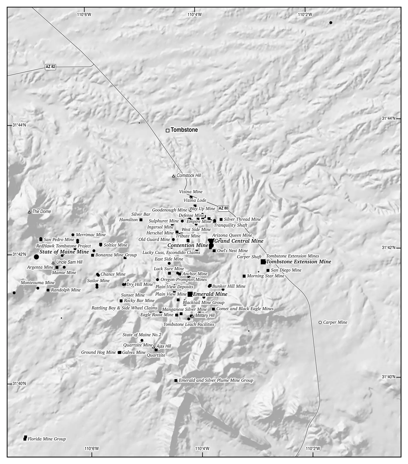
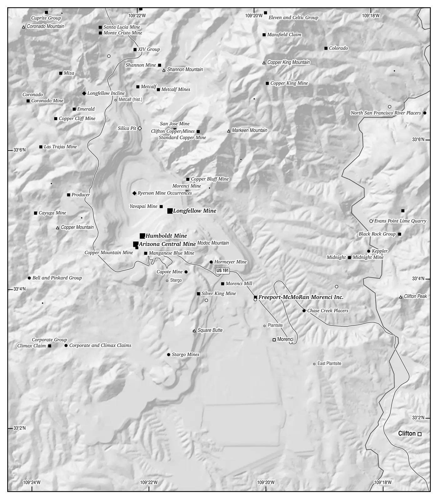
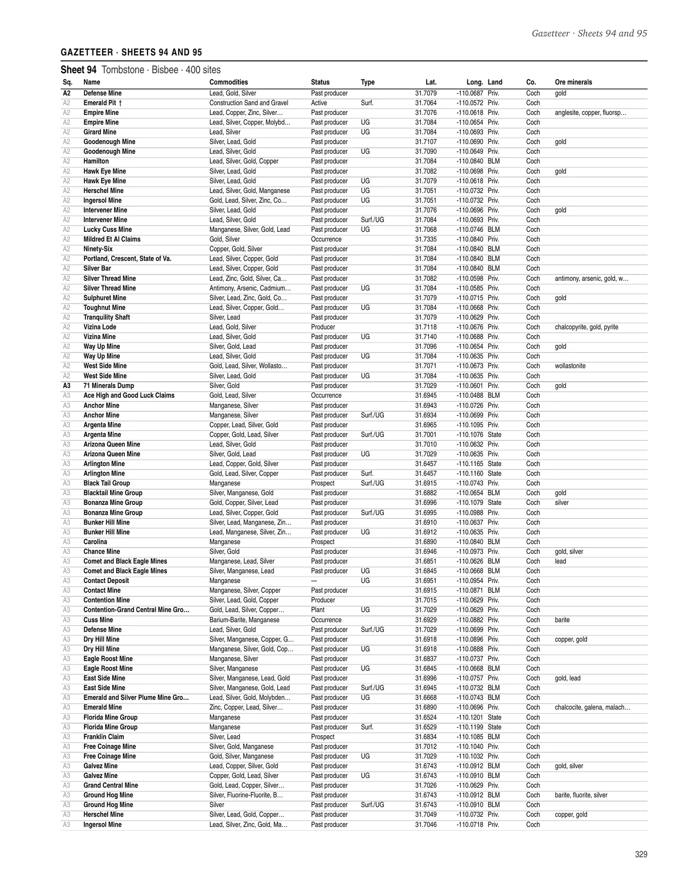
Shown as printed, in black and white on 8.5 × 11 paper. White shapes are lakes, ponds and reservoirs from the USGS National Hydrography Dataset. Tap a page to see it full size.


What’s inside
- 95 map sheets at one inch to five miles, all in one projection so neighbouring sheets butt together, each cut into lettered five-mile squares, with every site plotted.
- 12 mining districts drawn again at one inch to the mile, where the camps are too crowded to name at sheet scale.
- The land manager at every site: BLM, Forest Service, state, tribal, private or park land, and what each means for a visitor.
- A gazetteer for every sheet: name, commodities, status, working type, GPS coordinates and land manager for all 13,058 sites, square by square.
- An index of every named site with its sheet and square, a county finder, and the ore minerals named at each mine.
12,331 of the sites come from the U.S. Geological Survey’s Mineral Resources Data System and 727 from the Mine Safety and Health Administration: every one the two agencies locate in Arizona with coordinates.
Contents
- How to use this atlas4
- Whose land is it?6
- Stay out and stay alive8
- Reading a mine site9
- Arizona in the record11
- The ore minerals13
- Twelve districts at one inch to the mile14
- Key to the 95 sheets41
- The sheets and their gazetteers42
- County finder335
- Sites the record rates large or medium337
- Index of named sites341
- Sources and methods391
- Glossary392
The 12 district plates
- Bisbee and the Warren district17
- Tombstone19
- Jerome and the Verde district21
- Globe and Miami23
- Superior and the Pioneer district25
- Clifton and Morenci27
- Oatman and the Black Mountains29
- Chloride and the Cerbat Mountains31
- The Prescott highlands: Lynx Creek, Walker and Groom Creek33
- Crown King and the southern Bradshaws35
- Patagonia, Harshaw and Washington Camp37
- Arivaca and Oro Blanco39
Find a mine in the book
Every mine page on MinesNearMe for a site in this atlas says which page it is on, with that page’s map and the site ringed. Start from mines in Arizona or search near an address.
Who it’s for
Rockhounds, ghost-town hunters, backroad explorers, historians, and anyone who has stood at an old portal and wondered what came out of it. It is a book for the truck: no signal needed, coordinates you can type straight into a GPS.
Look from outside. Never enter a mine. A site in the atlas is a place in the public record, not an invitation: many are on private land or under active claims.
Mines of Arizona · 392 pages · $24.99