Section
What kind of site this isDrawn as an open-pit mine, dug down in benches from the surface. The ore color stands for gold ore. Federal records note the kind of operation and its status, not its depth or layout, so this is a typical example rather than a survey of this site.
Location
| State | Colorado |
| County | Montrose |
| Nearest Town | Nucla |
| Coordinates | 35.42639, -108.82556 |
Commodities
| Primary | Gold Ore |
Mine Details
| Status | Temporarily Idled |
| Type | Surface |
| Operator | Hampton Placer |
| Employees | 3 |
| Data Source | MSHA |
| Source ID | 0505209 |
This siteNearby records
Nearest Recorded Sites
| Site | Distance | Commodity | Status |
|---|---|---|---|
| Sundt Pit | 3.2 mi | Stone | Unknown |
| State Hwy Pit No 57-39-S | 3.5 mi | Stone, Crushed/Broken | Unknown |
| Twin Buttes Pit | 5.1 mi | Sand and Gravel, Construction | Unknown |
| Tampico Pit | 5.7 mi | Construction Sand and Gravel | Active |
| Gravel Pit | 5.8 mi | Sand and Gravel, Construction | Unknown |
| Twin Buttes Quarry | 7.0 mi | Stone | Producer |
| Borrow Pit | 7.2 mi | Sand and Gravel, Construction | Unknown |
| Sand Pit | 7.4 mi | Sand and Gravel, Construction | Unknown |
| Borrow Pit | 7.5 mi | Sand and Gravel, Construction | Unknown |
| Carbon Ii | 7.6 mi | Coal (Bituminous) | Abandoned and Sealed |
| Gravel Pits | 7.7 mi | Sand and Gravel, Construction | Unknown |
| Uran Deposit | 9.7 mi | Uranium | Unknown |
What This Means
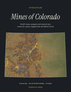

A field atlas, in print
Mines of Colorado
All 18,425 mines, prospects and mineral sites the federal record locates in Colorado, on 64 full-page county maps with GPS coordinates for every one.