Section
What kind of site this isDrawn as an open-pit mine, dug down in benches from the surface. The ore color stands for fluorine-fluorite. Federal records note the kind of operation and its status, not its depth or layout, so this is a typical example rather than a survey of this site.
Location
| State | Nevada |
| County | Nye |
| Coordinates | 36.85437, -116.64028 |
Commodities
| Tertiary | Fluorine-Fluorite |
Mine Details
| Status | Producer |
| Type | Surface |
| Data Source | USGS MRDS |
| Source ID | 10295131 |
This siteNearby records
Nearest Recorded Sites
| Site | Distance | Commodity | Status |
|---|---|---|---|
| Mary Mine | 0.0 mi | Fluorine-Fluorite | Past Producer |
| Mercury-Fluorite Prospect #1 | 0.6 mi | Mercury, Fluorine-Fluorite | Occurrence |
| Mercury-Fluorite Prospect #2 | 0.8 mi | Mercury, Fluorine-Fluorite | Occurrence |
| Goldspar Mine | 1.0 mi | Past Producer | |
| Goldspar Mine | 1.1 mi | Fluorine-Fluorite | Past Producer |
| Sterling Mine | 1.7 mi | Gold | Producer |
| Bond & Marks Deposit | 1.8 mi | Clay | Past Producer |
| Sterling Mine | 1.9 mi | Gold Ore | Intermittent |
| Lone Mountain Claim | 2.0 mi | Mercury | Occurrence |
| Lone Mountain Claim | 2.0 mi | Mercury | Prospect |
| Bond & Marks Property | 2.5 mi | Clay | Past Producer |
| Kiernan Property | 2.5 mi | Clay | Past Producer |
What This Means
 Page 354 · Mines of Nevada
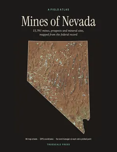
In the printed atlas
This site is on page 354 of Mines of Nevada
It is plotted on Sheet 86 (Amargosa Valley · Beatty), square D4, ringed in the crop of that page. Its gazetteer line (name, commodities, status, working type and GPS coordinates) is on page 357.