Section
What kind of site this is197019801990200020102020today
first production 1984
Drawn as a processing plant or mill, where ore from mines is crushed and refined. The ore color stands for copper. Federal records note the kind of operation and its status, not its depth or layout, so this is a typical example rather than a survey of this site.
Location
| State | Nevada |
| County | Douglas |
| Coordinates | 38.99211, -119.35179 |
Commodities
| Primary | Copper |
| Tertiary | Lead, Silver, Gold |
Mine Details
| Status | Plant |
| Type | Surface |
| First Production | 1984 |
| Data Source | USGS MRDS |
| Source ID | 10294439 |
This siteNearby records
Nearest Recorded Sites
| Site | Distance | Commodity | Status |
|---|---|---|---|
| Buckskin Mine | 0.1 mi | Gold, Copper | Producer |
| Buckskin Mine | 0.1 mi | Gold, Copper | Producer |
| Ludwig #1873 | 0.2 mi | Gypsum | Temporarily Idled |
| B.c. Claims | 0.4 mi | Silver, Copper, Gold | Occurrence |
| Bar Claims | 0.6 mi | Gold, Silver | Occurrence |
| Artesia Blue Mine | 0.9 mi | Gemstone | Past Producer |
| Gold Prospect | 1.0 mi | Gold | Prospect |
| Aqua Claim | 1.0 mi | Gold | Occurrence |
| Old Hall Claims | 1.1 mi | Gold | Occurrence |
| Blue Metal Prospect | 1.3 mi | Aluminum | Occurrence |
| Blue Metal Group | 1.5 mi | Corundum | Prospect |
| Bovie Lew Placer | 1.6 mi | Gold | Unknown |
What This Means
 Page 222 · Mines of Nevada
In the printed atlas
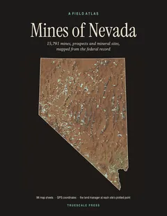
This site is on page 222 of Mines of Nevada
It is plotted on Sheet 51 (Yerington · Smith Valley), square C6, ringed in the crop of that page. Its gazetteer line (name, commodities, status, working type and GPS coordinates) is on page 224.