Section
What kind of site this isDrawn as a processing plant or mill, where ore from mines is crushed and refined. The ore color stands for phosphorus-phosphates. Federal records note the kind of operation and its status, not its depth or layout, so this is a typical example rather than a survey of this site.
Location
| State | Idaho |
| County | Caribou |
| Coordinates | 42.73932, -111.54051 |
Commodities
| Primary | Phosphorus-Phosphates |
Mine Details
| Status | Plant |
| Type | Processing Plant |
| Data Source | USGS MRDS |
| Source ID | 10290010 |
This siteNearby records
Nearest Recorded Sites
| Site | Distance | Commodity | Status |
|---|---|---|---|
| Rasmussen Valley Mine | 0.2 mi | Phosphate Rock | Abandoned |
| J.r. Simplot Washing/calcine Plant | 0.9 mi | Phosphorus-Phosphates | Past Producer |
| Conda Mine | 1.1 mi | Phosphorus-Phosphates | Past Producer |
| Caldwell Canyon Mine | 2.4 mi | Construction Sand and Gravel | Intermittent |
| Rasmussen Ranch | 2.4 mi | Misc. Metal Ore NEC | Abandoned |
| Woodall Spring | 2.7 mi | Geothermal | Unknown |
| Trail Creek | 3.0 mi | Phosphorus-Phosphates | Unknown |
| Trail Canyon | 3.1 mi | Clay | Unknown |
| North Trail Canyon Mine | 3.4 mi | Phosphorus-Phosphates | Past Producer |
| Trail Canyon Quarry | 3.4 mi | Limestone, Dimension | Producer |
| Blackfoot Bridge Proposed Mine | 3.6 mi | Phosphorus-Phosphates | Prospect |
| Aspen Range North | 3.6 mi | Phosphorus-Phosphates | Occurrence |
What This Means
 Page 272 · Mines of Idaho
In the printed atlas
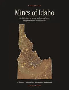
This site is on page 272 of Mines of Idaho
It is plotted on Sheet 68 (Soda Springs · Montpelier), square B2, ringed in the crop of that page. Its gazetteer line (name, commodities, status, working type and GPS coordinates) is on page 275.