Section
What kind of site this isDrawn as an underground mine, reached by a shaft or tunnel and worked along the ore. The ore color stands for uranium. Federal records note the kind of operation and its status, not its depth or layout, so this is a typical example rather than a survey of this site.
Location
| State | Colorado |
| County | Moffat |
| Coordinates | 40.48107, -108.03007 |
Commodities
| Tertiary | Uranium |
Mine Details
| Status | Unknown |
| Type | Underground |
| Data Source | USGS MRDS |
| Source ID | 10288632 |
This siteNearby records
Nearest Recorded Sites
| Site | Distance | Commodity | Status |
|---|---|---|---|
| Moffat Limestone | 0.8 mi | Crushed, Broken Limestone NEC | Abandoned |
| Unknown Gravel Pit near Maybell, CO | 0.9 mi | Sand and Gravel, Construction | Past Producer |
| Metso | 1.3 mi | Construction Sand and Gravel | Intermittent |
| Moffat Limestone | 1.9 mi | Crushed, Broken Limestone NEC | Intermittent |
| Maybell Enterprises Inc | 2.1 mi | Crushed, Broken Limestone NEC | Abandoned |
| Unknown near Maybell, CO | 3.1 mi | Uranium | Occurrence |
| Unknown near Maybell, CO | 3.5 mi | Uranium, Vanadium | Occurrence |
| Orr Et Al Claims | 3.8 mi | Uranium | Occurrence |
| Unknown near Maybell, CO | 3.9 mi | Uranium, Vanadium | Occurrence |
| Maybell Plant | 3.9 mi | Uranium | Producer |
| Cedars Mining Company Claim No. 1 | 4.0 mi | Unknown | |
| Airborne Anomaly B17-95 | 4.0 mi | Unknown |
What This Means
 Page 213 · Mines of Colorado
In the printed atlas
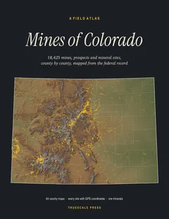
This site is on page 213 of Mines of Colorado
It is plotted on the Moffat County map, ringed in the crop of that page. Its gazetteer line (name, commodities, status, working type and GPS coordinates) is on page 214.