Section
What kind of site this isDrawn as a quarry or pit, where the rock or gravel itself is the product. The ore color stands for stone, crushed/broken. Federal records note the kind of operation and its status, not its depth or layout, so this is a typical example rather than a survey of this site.
Location
| State | Nevada |
| County | Lyon |
| Coordinates | 39.54160, -119.18429 |
Commodities
| Primary | Stone, Crushed/Broken |
Mine Details
| Status | Producer |
| Type | Surface |
| Data Source | USGS MRDS |
| Source ID | 10125134 |
This siteNearby records
Nearest Recorded Sites
| Site | Distance | Commodity | Status |
|---|---|---|---|
| Nevada Cement | 0.7 mi | Limestone, General | Producer |
| Jci #1336 | 1.2 mi | Sand, Common | Intermittent |
| Nevada Cement | 1.5 mi | Aluminum | Past Producer |
| Johnson Pit | 2.7 mi | Sand and Gravel, Construction | Past Producer |
| Browne Pit | 3.2 mi | Sand and Gravel, Construction | Past Producer |
| Diatomite Deposit | 3.3 mi | Diatomite | Past Producer |
| Fernley Airport Pit | 3.8 mi | Construction Sand and Gravel | Abandoned |
| Empire Mine | 3.8 mi | Fire Clay | Abandoned |
| Reno Rock & Asphalt | 3.8 mi | Construction Sand and Gravel | Abandoned |
| Blt Ready Mix & Aggregates | 3.8 mi | Construction Sand and Gravel | Abandoned |
| Hazen Pit & Mill | 4.4 mi | Sand and Gravel, Construction | Producer |
| State Highway Contract 1728 Pit | 4.4 mi | Sand and Gravel, Construction | Past Producer |
What This Means
 Page 181 · Mines of Nevada
In the printed atlas
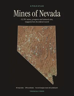
This site is on page 181 of Mines of Nevada
It is plotted on Sheet 41 (Fernley · Nixon), square E6, ringed in the crop of that page. Its gazetteer line (name, commodities, status, working type and GPS coordinates) is on page 184.