Section
What kind of site this isdiscovered 1873 · first production 1873
Drawn as a small mine; the records don't say whether it was worked from the surface or underground. The ore color stands for lead. Federal records note the kind of operation and its status, not its depth or layout, so this is a typical example rather than a survey of this site.
Location
| State | Nevada |
| County | Eureka |
| Coordinates | 39.47910, -115.98590 |
Commodities
| Primary | Lead |
| Secondary | Silver, Gold |
Mine Details
| Status | Past Producer |
| First Production | 1873 |
| Discovery Year | 1873 |
| Data Source | USGS MRDS |
| Source ID | 10044774 |
Nearest Recorded Sites
| Site | Distance | Commodity | Status |
|---|---|---|---|
| Eldorado Mine | 0.0 mi | Silver | Past Producer |
| Industry Tunnel | 0.1 mi | Silver, Gold, Lead | Past Producer |
| Industry Tunnel | 0.1 mi | Silver | Past Producer |
| Mayberry Tunnel | 0.2 mi | Gold, Lead, Silver | Past Producer |
| Mayberry Tunnel | 0.2 mi | Silver | Unknown |
| Frazer Tunnel | 0.3 mi | Occurrence | |
| Frazer Tunnel | 0.3 mi | Silver | Unknown |
| Sterling Tunnel | 0.3 mi | Silver, Gold, Lead | Past Producer |
| Sterling Tunnel | 0.3 mi | Unknown | |
| Atlas Shaft | 0.3 mi | Silver | Past Producer |
| Atlas Shaft | 0.3 mi | Silver, Gold, Lead | Past Producer |
| Dunderberg | 0.3 mi | Lead, Silver, Gold | Past Producer |
What This Means
This mine is a past producer — it was once operational but is no longer actively mining. Past producer sites may still have environmental impacts including disturbed land, tailings piles, and potential water quality effects. Some past producer sites have been reclaimed, while others remain as-is. Check with your state mining or environmental agency for current site conditions.
 Page 202 · Mines of Nevada
In the printed atlas
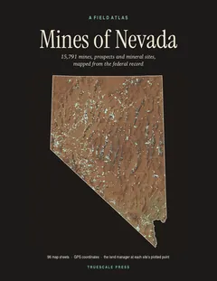
This site is on page 202 of Mines of Nevada
It is plotted on Sheet 46 (Eureka), square D7, ringed in the crop of that page. Its gazetteer line (name, commodities, status, working type and GPS coordinates) is on page 204. It is drawn again at one inch to the mile on the Eureka plate, page 23.