Section
What kind of site this isDrawn as a small mine; the records don't say whether it was worked from the surface or underground. The ore color stands for gold, silver, lead. Federal records note the kind of operation and its status, not its depth or layout, so this is a typical example rather than a survey of this site.
Location
| State | Colorado |
| County | Gilpin |
| Coordinates | 39.87888, -105.53559 |
Commodities
| Primary | Gold, Silver, Lead |
Mine Details
| Status | Producer |
| Deposit Type | Vein |
| Data Source | USGS MRDS |
| Source ID | 10018581 |
This siteNearby records
Nearest Recorded Sites
| Site | Distance | Commodity | Status |
|---|---|---|---|
| Perigo Mines | 0.0 mi | Gold | Past Producer |
| Tip Top | 0.3 mi | Gold | Past Producer |
| Mareau | 0.4 mi | Gold | Past Producer |
| Free Gold, Mareau | 0.4 mi | Gold, Silver | Producer |
| Golden Flint | 0.5 mi | Gold | Past Producer |
| Wilma | 0.6 mi | Molybdenum | Occurrence |
| Golden Cycle Mine | 0.7 mi | Gold | Past Producer |
| Blue Grouse | 0.7 mi | Gold | Past Producer |
| Bennett | 0.8 mi | Gold | Past Producer |
| Mountain Chief | 0.8 mi | Gold | Producer |
| Kerry Cheif | 0.8 mi | Gold | Past Producer |
| Julia Lode | 0.8 mi | Gold, Silver, Lead | Occurrence |
What This Means
 Page 125 · Mines of Colorado
In the printed atlas
This site is on page 125 of Mines of Colorado
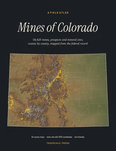
It is plotted on the Gilpin County map, ringed in the crop of that page. Its gazetteer line (name, commodities, status, working type and GPS coordinates) is on page 129.