Section
What kind of site this isDrawn as a mineral occurrence: a place where a geologist noted the mineral, with no mining recorded. The ore color stands for fluorine-fluorite. Federal records note the kind of operation and its status, not its depth or layout, so this is a typical example rather than a survey of this site.
Location
| State | Colorado |
| County | Mesa |
| Coordinates | 38.82956, -108.56483 |
Commodities
| Primary | Fluorine-Fluorite |
Mine Details
| Status | Occurrence |
| Data Source | USGS MRDS |
| Source ID | 10016854 |
This siteNearby records
Nearest Recorded Sites
| Site | Distance | Commodity | Status |
|---|---|---|---|
| Unknown near Orchard Mesa, CO | 0.0 mi | Fluorine-Fluorite | Occurrence |
| Flagstone Mine | 0.1 mi | Uranium | Unknown |
| Mica View | 1.6 mi | Mica | Unknown |
| Unnamed Mine near Orchard Mesa, CO | 3.6 mi | Fluorine-Fluorite | Occurrence |
| Unnamed Mine near Orchard Mesa, CO | 3.6 mi | Fluorine-Fluorite | Unknown |
| Rock Pit Mine | 4.2 mi | Uranium | Unknown |
| Queen Beth | 4.2 mi | Fluorine-Fluorite | Unknown |
| Gavette Claim | 4.2 mi | Molybdenum | Occurrence |
| Unnamed Mine near Orchard Mesa, CO | 5.2 mi | Molybdenum | Unknown |
| Unknown near Orchard Mesa, CO | 6.0 mi | Fluorine-Fluorite | Occurrence |
| Golden Stone | 6.2 mi | Stone | Unknown |
| Amethyst | 6.2 mi | Gemstone | Unknown |
What This Means
This location is classified as a mineral prospect or occurrence — a site where minerals have been identified but no significant mining has taken place. These sites typically have minimal environmental impact but indicate the presence of mineral deposits in the area.
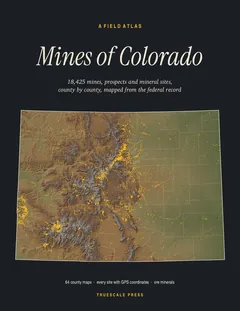

A field atlas, in print
Mines of Colorado
All 18,425 mines, prospects and mineral sites the federal record locates in Colorado, on 64 full-page county maps with GPS coordinates for every one.