Section
What kind of site this isDrawn as a quarry or pit, where the rock or gravel itself is the product. The ore color stands for stone, crushed/broken. Federal records note the kind of operation and its status, not its depth or layout, so this is a typical example rather than a survey of this site.
Location
| State | Colorado |
| County | Jefferson |
| Coordinates | 39.77666, -105.22975 |
Commodities
| Primary | Stone, Crushed/Broken |
Mine Details
| Status | Producer |
| Data Source | USGS MRDS |
| Source ID | 10016687 |
This siteNearby records
Nearest Recorded Sites
| Site | Distance | Commodity | Status |
|---|---|---|---|
| Unknown near Golden, CO | 0.0 mi | Fire Clay (Refractory) | Occurrence |
| Unknown near Golden, CO | 0.0 mi | Clay | Occurrence |
| Coors Clay Mines | 0.7 mi | Fire Clay (Refractory) | Producer |
| Golden Fire Brick Co. | 0.7 mi | Fire Clay (Refractory) | Producer |
| Golden Granite Quarry | 0.7 mi | Granite | Producer |
| Unknown near Fairmount, CO | 0.7 mi | Fire Clay (Refractory) | Producer |
| Golden Clay Mines | 0.7 mi | Fire Clay (Refractory) | Occurrence |
| Hard Rock Quarries | 0.7 mi | Granite | Producer |
| Unknown near Fairmount, CO | 0.7 mi | Stone, Crushed/Broken | Producer |
| Clear Creek Sand & Gravel Gold Dep | 0.9 mi | Sand and Gravel, Construction | Occurrence |
| Ladwig Properties | 0.9 mi | Past Producer | |
| Denver Fire Clay Co. Mine | 1.0 mi | Fire Clay (Refractory) | Producer |
What This Means
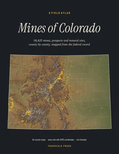

A field atlas, in print
Mines of Colorado
All 18,425 mines, prospects and mineral sites the federal record locates in Colorado, on 64 full-page county maps with GPS coordinates for every one.