Section
What kind of site this isDrawn as a small mine; the records don't say whether it was worked from the surface or underground. The ore color stands for copper, lead, zinc, gold, silver. Federal records note the kind of operation and its status, not its depth or layout, so this is a typical example rather than a survey of this site.
Location
| State | Colorado |
| County | Summit |
| Coordinates | 39.53416, -105.85477 |
Commodities
| Primary | Copper, Lead, Zinc, Gold, Silver |
Mine Details
| Status | Producer |
| Deposit Type | Vein |
| Data Source | USGS MRDS |
| Source ID | 10009748 |
This siteNearby records
Nearest Recorded Sites
| Site | Distance | Commodity | Status |
|---|---|---|---|
| Cashier Mine | 0.0 mi | Gold | Producer |
| Bullton Extension | 0.3 mi | Gold | Occurrence |
| Whale Mine | 0.6 mi | Silver, Lead | Past Producer |
| Whale Mine | 0.6 mi | Copper, Lead, Gold, Silver | Producer |
| Snake River Bog Iron | 0.7 mi | Iron | Producer |
| Richelieu Lode | 0.9 mi | Gold | Past Producer |
| Star of the West | 1.0 mi | Gold | Past Producer |
| Arabella Mine | 1.0 mi | Gold | Past Producer |
| Lower Radical Mine | 1.0 mi | Gold | Past Producer |
| Radical Lode | 1.0 mi | Gold | Past Producer |
| Radical | 1.0 mi | Lead, Silver | Producer |
| Upper Radical Mine | 1.0 mi | Gold | Unknown |
What This Means
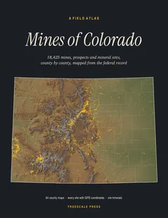

A field atlas, in print
Mines of Colorado
All 18,425 mines, prospects and mineral sites the federal record locates in Colorado, on 64 full-page county maps with GPS coordinates for every one.