Section
What kind of site this isDrawn as a small mine; the records don't say whether it was worked from the surface or underground. The ore color stands for barium-barite. Federal records note the kind of operation and its status, not its depth or layout, so this is a typical example rather than a survey of this site.
Location
| State | Idaho |
| County | Power |
| Coordinates | 42.74211, -112.82085 |
Commodities
| Primary | Barium-Barite |
| Tertiary | Mercury |
Mine Details
| Status | Unknown |
| Data Source | USGS MRDS |
| Source ID | 10290280 |
This siteNearby records
Nearest Recorded Sites
| Site | Distance | Commodity | Status |
|---|---|---|---|
| Geothermal Location 8s-31e-17 | 2.3 mi | Geothermal | Occurrence |
| Juniper Hills Mining Co. | 2.9 mi | Mercury | Unknown |
| Juniper Hill Mine | 2.9 mi | Mercury | Past Producer |
| Big Bend | 3.8 mi | Gold | Past Producer |
| Sunbeam 1 | 5.0 mi | Mercury | Past Producer |
| Clay Deposit | 5.9 mi | Clay | Occurrence |
| Neely Placer Deposit | 6.6 mi | Gold | Past Producer |
| Gravel Pit | 8.4 mi | Sand and Gravel, Construction | Past Producer |
| Pumicite Deposit | 8.7 mi | Pumice | Occurrence |
| Tonupoh Placer | 9.7 mi | Gold | Past Producer |
| Clay Deposit | 9.8 mi | Occurrence | |
| Gravel Pit | 10.0 mi | Sand and Gravel, Construction | Producer |
What This Means
 Page 267 · Mines of Idaho
In the printed atlas
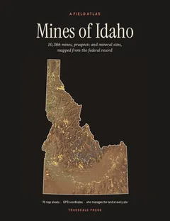
This site is on page 267 of Mines of Idaho
It is plotted on Sheet 66 (Pocatello · American Falls), square C3, ringed in the crop of that page. Its gazetteer line (name, commodities, status, working type and GPS coordinates) is on page 268.