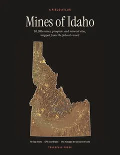
Section
What kind of site this isDrawn as an open-pit mine, dug down in benches from the surface. The ore color stands for lead. Federal records note the kind of operation and its status, not its depth or layout, so this is a typical example rather than a survey of this site.
Location
| State | Idaho |
| County | Shoshone |
| Coordinates | 47.51047, -115.90882 |
Commodities
| Primary | Lead |
| Tertiary | Zinc, Silver |
Mine Details
| Status | Unknown |
| Type | Surface |
| Data Source | USGS MRDS |
| Source ID | 10169374 |
This siteNearby records
Nearest Recorded Sites
| Site | Distance | Commodity | Status |
|---|---|---|---|
| Blackcloud Mine | 0.0 mi | Lead, Silver | Past Producer |
| Monarch Mine | 0.1 mi | Lead, Silver, Zinc | Past Producer |
| Mc Donald Prospect | 0.1 mi | Occurrence | |
| McDonald Mine | 0.1 mi | Occurrence | |
| Marshal Prospect | 0.2 mi | Occurrence | |
| Marshal Mine | 0.2 mi | Prospect | |
| Option | 0.2 mi | Occurrence | |
| Thomas Consolidated Prospect | 0.2 mi | Lead | Prospect |
| California Mine | 0.2 mi | Lead, Zinc, Silver | Past Producer |
| California Mine | 0.2 mi | Past Producer | |
| Ruth Mine | 0.2 mi | Past Producer | |
| Ruth Prospect | 0.2 mi | Occurrence |
What This Means
 Page 79 · Mines of Idaho
In the printed atlas
This site is on page 79 of Mines of Idaho
It is plotted on Sheet 10 (Wallace · Mullan), square A1, ringed in the crop of that page. Its gazetteer line (name, commodities, status, working type and GPS coordinates) is on page 81. It is drawn again at one inch to the mile on the Wallace, Burke and Mullan plate, page 20.