Section
What kind of site this isDrawn as a mineral occurrence: a place where a geologist noted the mineral, with no mining recorded. The ore color stands for magnesite. Federal records note the kind of operation and its status, not its depth or layout, so this is a typical example rather than a survey of this site.
Location
| State | Idaho |
| County | Bannock |
| Coordinates | 42.60962, -112.08002 |
Commodities
| Primary | Magnesite |
Mine Details
| Status | Occurrence |
| Data Source | USGS MRDS |
| Source ID | 10090839 |
Nearest Recorded Sites
| Site | Distance | Commodity | Status |
|---|---|---|---|
| Laketown Dolomite | 3.1 mi | Stone | Prospect |
| Saturday Group Occurrence | 3.6 mi | Occurrence | |
| Lava Hot Springs | 3.7 mi | Past Producer | |
| Lava Hot Spring | 3.8 mi | Geothermal | Occurrence |
| Gravel Pit | 3.9 mi | Sand and Gravel, Construction | Past Producer |
| Sunday Group Occurrence | 3.9 mi | Occurrence | |
| Vanza Mine | 3.9 mi | Manganese | Past Producer |
| Vanza Mine | 4.1 mi | Manganese | Past Producer |
| Fish Haven Dolomite | 4.6 mi | Magnesite | Occurrence |
| Gravel Pit | 5.3 mi | Sand and Gravel, Construction | Past Producer |
| Gravel Pit | 5.4 mi | Sand and Gravel, Construction | Past Producer |
| Gravel Pit | 5.7 mi | Sand and Gravel, Construction | Past Producer |
What This Means
This location is classified as a mineral prospect or occurrence — a site where minerals have been identified but no significant mining has taken place. These sites typically have minimal environmental impact but indicate the presence of mineral deposits in the area.
 Page 269 · Mines of Idaho
In the printed atlas
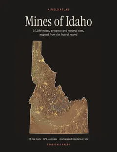
This site is on page 269 of Mines of Idaho
It is plotted on Sheet 67 (McCammon · Grace), square C4, ringed in the crop of that page. Its gazetteer line (name, commodities, status, working type and GPS coordinates) is on page 270.